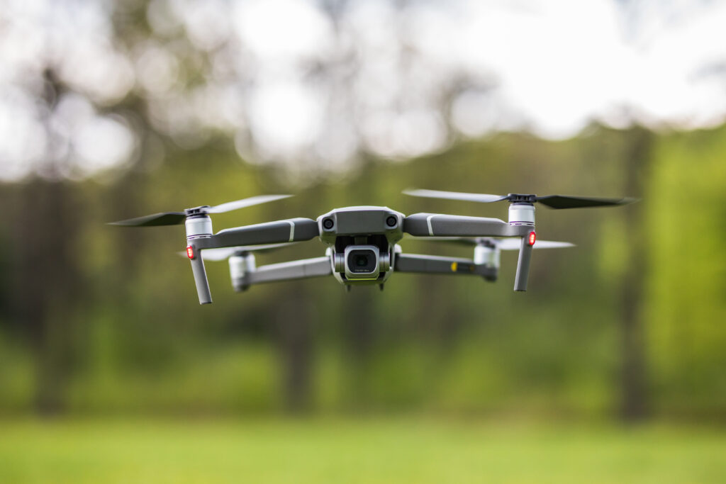
An air drone survey, often referred to as drone mapping or aerial surveying, is a method of collecting high-resolution aerial data using unmanned aerial vehicles (UAVs or drones). These surveys are used across various industries, including construction, agriculture, environmental monitoring, mining, infrastructure inspection, and more. Drones equipped with specialized sensors and cameras capture images and data from the air, allowing for detailed mapping and analysis. There are several types of air drone surveys:
1. Photogrammetric Survey:
- How it works: Drones equipped with high-resolution cameras capture overlapping images of the survey area from multiple angles and altitudes.
- Data Processing: Photogrammetry software processes these images to create detailed 2D and 3D maps, orthomosaics, digital surface models (DSMs), and digital terrain models (DTMs).
- Applications: Photogrammetric surveys are used in construction site mapping, agriculture for crop health assessment, land development, and environmental monitoring.
2. LiDAR (Light Detection and Ranging) Survey:
- How it works: Drones equipped with LiDAR sensors emit laser pulses that bounce off objects and terrain. The sensor measures the time it takes for the laser to return, creating a highly accurate 3D point cloud.
- Data Processing: LiDAR data is processed to generate detailed 3D models, topographic maps, and terrain profiles.
- Applications: LiDAR surveys are valuable for terrain modeling, forestry management, infrastructure inspection, and flood risk assessment.
3. Thermal Imaging Survey:
- How it works: Drones equipped with thermal cameras capture temperature variations on the ground or structures. These variations can indicate anomalies or issues not visible to the naked eye, such as heat loss in buildings or hotspots in electrical equipment.
- Data Processing: Thermal imaging data is analyzed to identify areas of concern, enabling predictive maintenance or identifying energy inefficiencies.
- Applications: Thermal surveys are used in building inspections, firefighting, search and rescue, and wildlife monitoring.
4. Multispectral and Hyperspectral Survey:
- How it works: Drones equipped with multispectral or hyperspectral cameras capture data across various spectral bands, including visible and non-visible wavelengths.
- Data Processing: This data helps identify specific features like crop health, soil composition, or environmental changes.
- Applications: Agriculture benefits from multispectral surveys for precision farming, environmental studies, and mining for mineral identification.
5. Magnetic and Gravitational Survey:
- How it works: Drones can carry sensors to measure variations in Earth’s magnetic or gravitational fields, which can indicate underground structures or geological features.
- Data Processing: Analyzing the data reveals subsurface information, such as buried utilities, mineral deposits, or geological formations.
- Applications: Magnetic and gravitational surveys are used in geophysics, archaeology, and resource exploration.
6. Inspection and Monitoring Survey:
- How it works: Drones are used for visual inspections of infrastructure, including bridges, power lines, wind turbines, and pipelines. High-resolution images and videos are captured to identify defects or damage.
- Data Processing: Inspection data is reviewed by engineers and experts to assess the condition of structures and plan maintenance or repairs.
- Applications: Inspection surveys enhance safety and reduce costs in infrastructure maintenance and monitoring.
Air drone surveys offer several advantages, including cost-effectiveness, safety, and the ability to access hard-to-reach areas. The choice of survey type depends on the specific goals and requirements of the project or application.
GET MORE INFORMATION
