What is Air Drone Survey and there types.
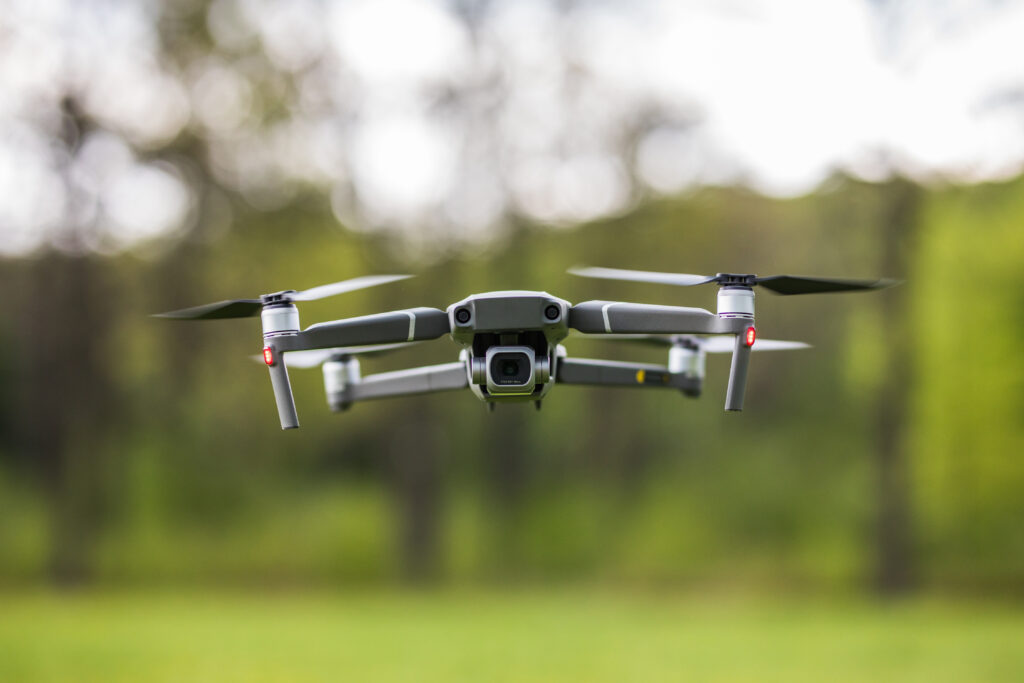
An air drone survey, often referred to as drone mapping or aerial surveying, is a method of collecting high-resolution aerial data using unmanned aerial vehicles (UAVs or drones). These surveys are used across various industries, including construction, agriculture, environmental monitoring, mining, infrastructure inspection, and more. Drones equipped with specialized sensors and cameras capture images and […]
What is Air Drone Survey and there types. Read More »